EPIC supports every phase of your GIS journey from data readiness and schema design to implementation and system optimization purpose-built for infrastructure, utilities, and public agencies.
GIS technology can be integrated into any enterprise information system framework or can serve as the information system platform itself.
EPIC provides complete GIS lifecycle solutions from needs assessment through implementation.
Solving Problems.
Streamlining Progress.
Our GIS services include:
GIS Master Planning
Strategically align GIS initiatives to support long-term organizational goals effectively.
Data Collection. Conversion. Creation.
Efficiently gather, convert, and create data for informed decision-making.
Advanced GIS Analysis and Mapping
Work together seamlessly by adding annotations and comments directly to your BI dashboards.
GIS Applications Development
Built to streamline workflows and enhance spatial decision-making efficiency.
GIS Applications Integration
Seamlessly integrate GIS applications to unify and enhance operational efficiency.
Mobile GIS Solutions
Deliver real-time location data and insights with mobile GIS tools.
Technical Support Services
Reliable technical support to ensure smooth, uninterrupted GIS operations anytime.
Training Solution
Empowering teams with tailored GIS training for confident, effective use.
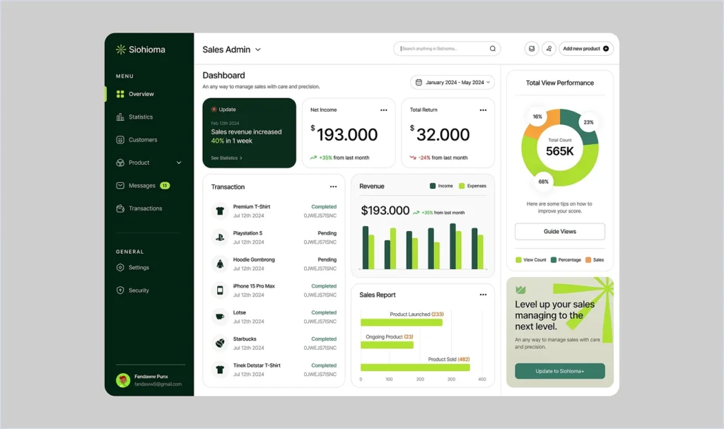
Empowering public agencies with connected systems, live dashboards, and real-time data to make smarter decisions across utilities, transit, and public services.
Empowering public agencies with connected systems, live dashboards, and real-time data to make smarter decisions across utilities, transit, and public services.
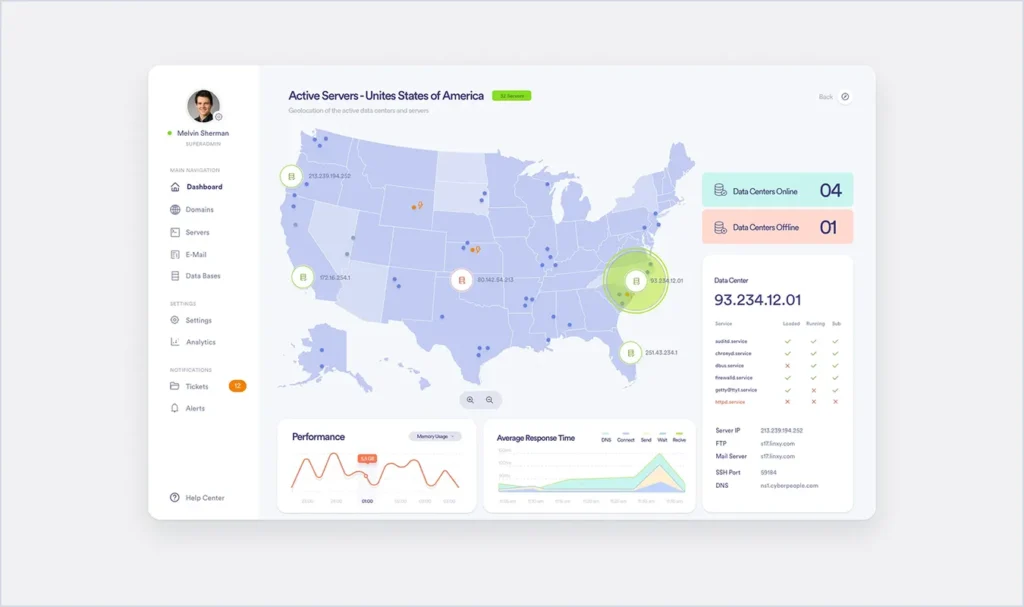
Empowering public agencies with connected systems, live dashboards, and real-time data to make smarter decisions across utilities, transit, and public services.
Empowering public agencies with connected systems, live dashboards, and real-time data to make smarter decisions across utilities, transit, and public services.